Understanding AV&Drones and Their Role in Modern Aerial Operations
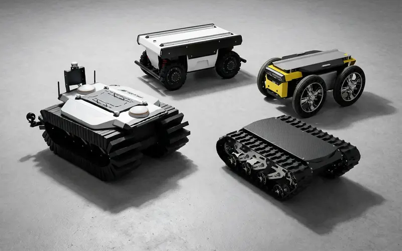
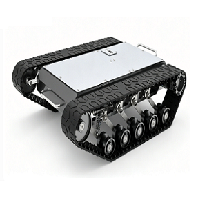
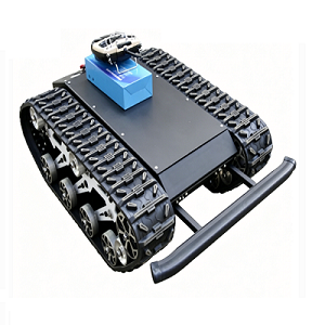
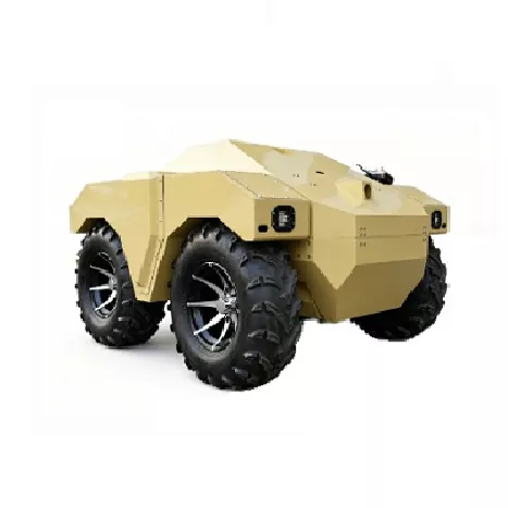
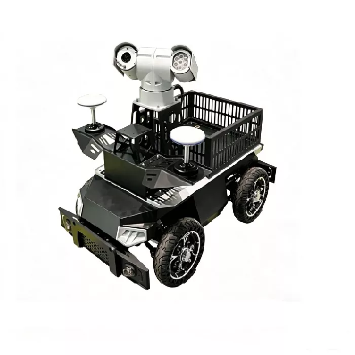
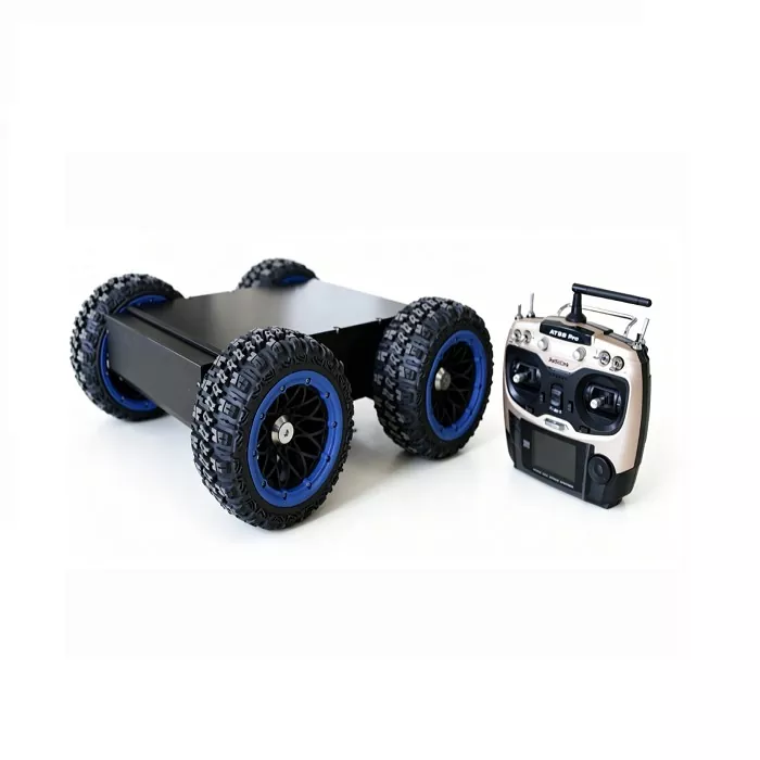
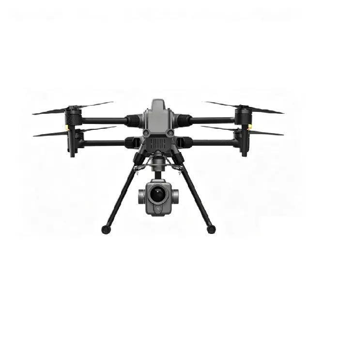
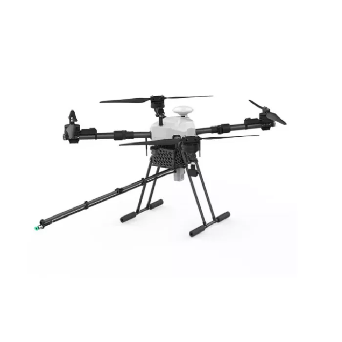
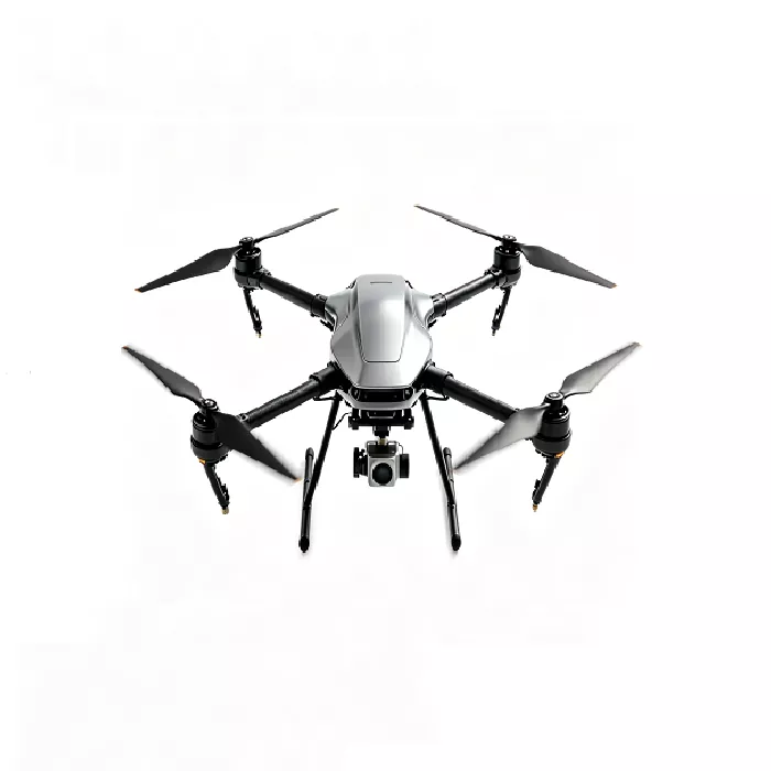
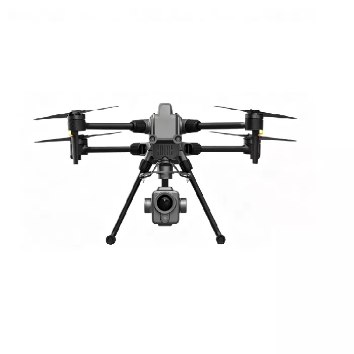
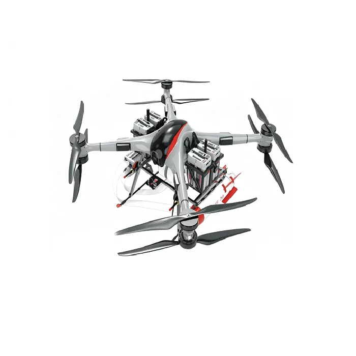
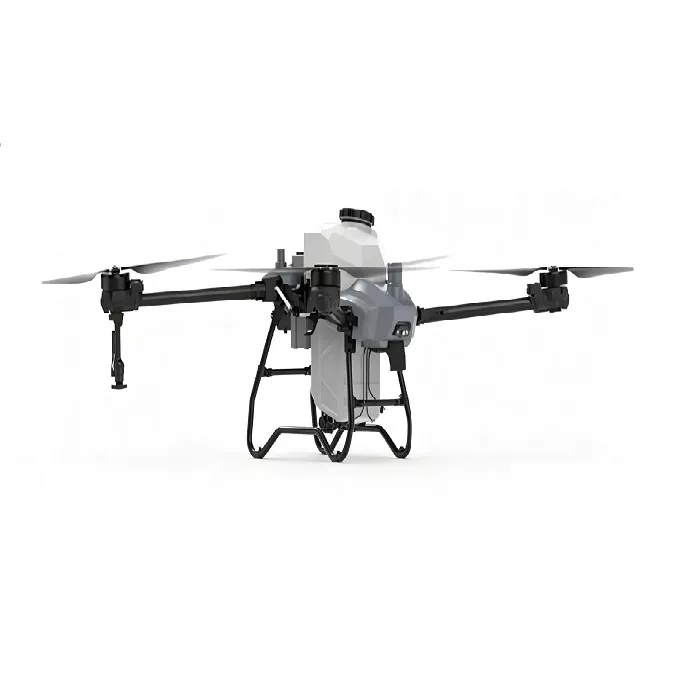
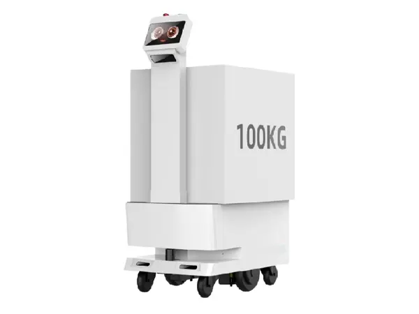
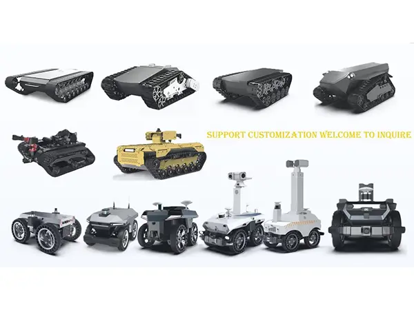
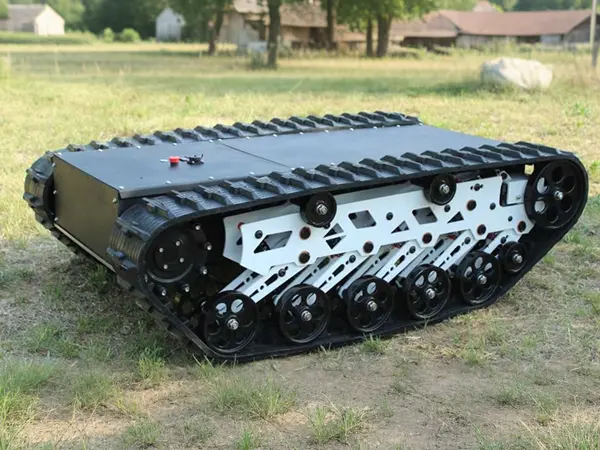
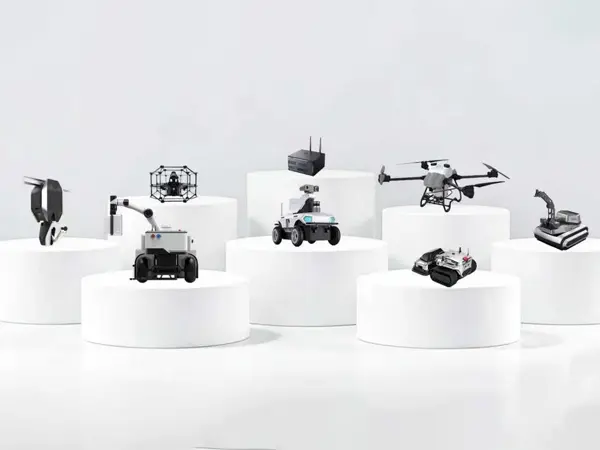
Autonomous vehicles and drones are reshaping industries with efficiency, precision, and data-driven capabilities. AV&Drones represent an integrated ecosystem where unmanned aerial systems work alongside ground-based autonomous platforms to capture, process, and deliver actionable intelligence. At Weide, we design robust AV&Drones solutions tailored for agriculture, infrastructure inspection, public safety, and logistics. Our systems combine flight endurance, sensor fusion, and edge computing, enabling professionals to complete complex missions without manual intervention. Our AV&Drones series includes products such as Industrial Inspection Drone, High Payload Lifting Drone, and others.
Case Example: AV&Drones in Solar Farm Inspection
A large-scale solar energy company adopted Weide AV&Drones to inspect over 20,000 panels per day. Equipped with the 640×512 thermal payload, the WD-VT500 captured radiometric images at 0.5-second intervals while flying a pre-programmed lawnmower pattern. Onboard edge computing flagged panel-level anomalies in real time, generating a geo-tagged defect list within minutes of landing. This workflow reduced inspection time by 75% compared to manual methods and improved fault detection rates by identifying micro-cracks invisible to handheld cameras.
Advanced Autonomy: AI-Based Object Detection
Beyond standard waypoint navigation, Weide AV&Drones run neural networks on the edge to identify and classify objects. For linear infrastructure, the system detects encroaching vegetation, damaged insulators, and unauthorized construction. In search and rescue, models trained on thermal signatures can locate persons even in dense brush or smoke. These detections feed back into the mission logic, allowing the AV&Drones to dynamically adjust flight path or zoom level for detailed inspection, all without operator intervention. The Weide AI Lab regularly publishes new models validated on thousands of field-collected images.
Battery and Logistics Accessories
To support continuous operations, Weide offers compact multi-battery charging cases that simultaneously charge and condition up to eight flight packs. The cases include active cooling, individual cell balancing, and deep-cycle maintenance modes. For remote areas, foldable solar arrays can recharge packs during daylight hours, enabling multi-day missions far from the grid. Transport cases meet IATA lithium battery shipping regulations and include pressure relief valves for air transport.
User Community and Continuous Improvement
Weide maintains an active user forum where operators share flight experiences, custom scripts, and sensor calibration tips. Monthly webinars cover topics such as advanced photogrammetry settings, regulatory updates, and new software features. Feedback from this community directly influences our development roadmap. Recent updates based on user requests include an automatic terrain-following mode for steep terrain mapping and a visual simultaneous localization and mapping (SLAM) feature for GPS-denied environments like tunnels and indoor facilities.
Why Professionals Choose Weide AV&Drones
Professionals in surveying, agriculture, and infrastructure trust Weide because our systems deliver repeatable, high-accuracy results under demanding conditions. The combination of rugged hardware, open software architecture, and comprehensive support reduces total ownership costs and accelerates the return on investment. Whether mapping a 500-hectare farm or inspecting a 100-kilometer transmission line, Weide AV&Drones provide the reliability and data quality required for critical decisions.